I messed around with listening and decoding NOAA satellites at home and depending on the satellite they decode with the states outlined like this. It’s a fun hobby that uses one of those digital antennas,some copper wire and some open source programs.
Because they’re always there, haven’t you gone to the edge of your county and looked at the lines? My favorites are the ones that run right through man made stuff like streets and farms.


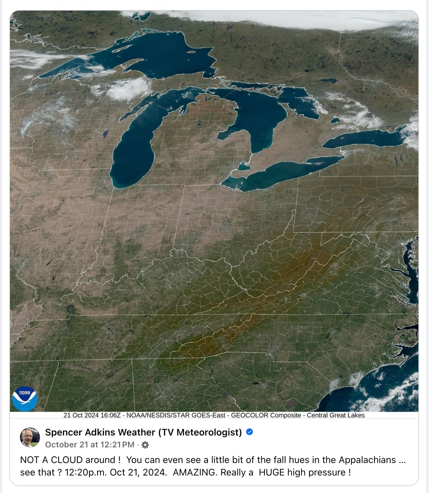
Why are the city and county lines present?
I messed around with listening and decoding NOAA satellites at home and depending on the satellite they decode with the states outlined like this. It’s a fun hobby that uses one of those digital antennas,some copper wire and some open source programs.
Because they’re always there, haven’t you gone to the edge of your county and looked at the lines? My favorites are the ones that run right through man made stuff like streets and farms.
this is how I thought longitude and latitude worked when I was little. The boat captains would just go over it like a bump on the road
I wish the world worked the way we thought it did as kids. It would be so much more interesting.